
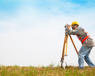
Elite Geomatics Land Survey
Land Survey
Welcome to Elite Geomatics Land Survey, where precision meets professionalism. We offer a comprehensive range of surveying services, from boundary surveys and topographic surveys to construction stakeouts and elevation certificates. Our team of experienced surveyors is dedicated to providing reliable, accurate data that supports the success of your projects. Whether you're a homeowner, developer, contractor, or architect, we understand the importance of getting things right from the start, and we're here to help you navigate every step of the process. Explore our website to learn more about how our expert services can provide clarity, precision, and confidence for your land development or real estate needs.
About Us
We specialize in delivering precise, reliable, and detailed surveying services to help bring your projects to life. With a team of skilled professionals and cutting-edge technology, we offer a wide range of services, from boundary and topographic surveys to construction stakeouts and land title surveys. We work closely with architects, engineers, and contractors, providing expert insights that ensure the accuracy and success of every project. Whether you’re developing residential, commercial, or industrial land, we’re here to support your goals with integrity and professionalism. Let’s turn your vision into reality—together.


Our services
We offer a wide range of expert surveying services to support your project’s success. Our key offerings include Boundary Surveys to define property lines, Topographic Surveys for in-depth land analysis, Construction Stakeout Services for accurate project layout, ALTA/NSPS Land Title Surveys to ensure clear property titles, and Professional Profile Surveys to guide development decisions. No matter your project type—residential, commercial, or industrial—our team is here to provide precise, reliable survey data to move your plans forward. Let us help you navigate your project with accuracy and confidence.

Elevation Certificates
At Elite Geomatics Land Survey, we provide accurate and professional Elevation Certificates to help property owners, builders, and insurance agents manage flood risk and comply with FEMA regulations. Our certified surveyors deliver precise elevation data that can lower flood insurance premiums, support building permits, and streamline real estate transactions. Whether you're constructing in a flood zone, selling property, or seeking insurance savings, our Elevation Certificates give you the documentation and peace of mind you need. We offer fast turnaround times, competitive pricing, and personalized service to meet your specific project requirements. Protect your investment and stay compliant—trust Elite Geomatics Land Survey for all your Elevation Certificate and flood risk assessment needs.
Property, Boundary & Title Surveys
We are very proud to provide precise Property, Boundary, and Title Survey solutions to protect your investment and ensure project success. Whether you're buying or selling real estate, resolving a boundary dispute, or preparing for construction, our expert surveyors deliver accurate, reliable surveys tailored to your needs. We specialize in Property Surveys, Boundary Surveys, and Title Surveys for homeowners, developers, lenders, and attorneys. Fast turnarounds, competitive pricing, and clear communication make us the trusted choice across Lynn and the North Shore. Secure your property with confidence and contact our team at Elite Geomatics Land Survey today!

ALTA | NSPS | ACSM Land Title Survey
We specialize in delivering precise ALTA/NSPS Land Title Surveys to support seamless commercial real estate transactions. Our surveys meet the highest industry standards, providing lenders, title companies, attorneys, and property owners with the critical data they need to mitigate risks and ensure confident closings. From identifying boundary lines and easements to highlighting potential encroachments and zoning concerns, we deliver detailed insights to protect your investment. With a focus on accuracy, transparency, and efficiency, our ALTA/NSPS surveys help eliminate surprises and streamline your project. Trust us to deliver the clarity you need for your next commercial deal.
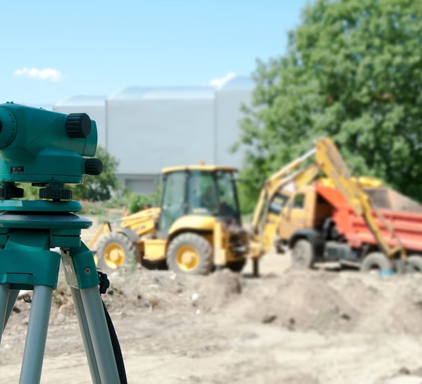
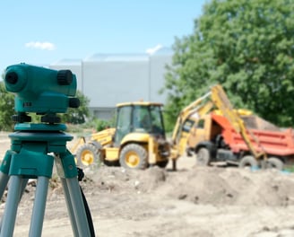
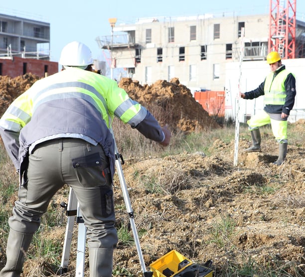
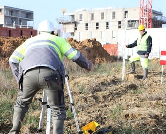
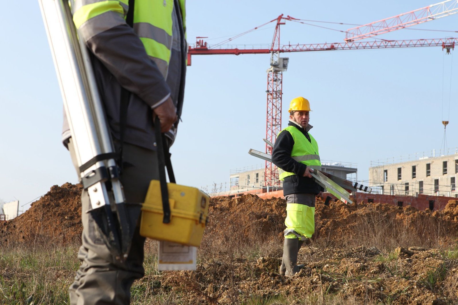
Construction Survey and Stakeout
Start your project with confidence through our expert Construction Survey and Stakeout services. We transform your design plans into real-world precision, providing the critical layout and reference points needed to guide every phase of construction. From setting control points and staking foundations to marking utilities and verifying alignments, our survey team ensures your project is built exactly as intended. We help you avoid costly delays, minimize rework, and keep your construction timeline on track. With advanced technology and deep industry experience, we support commercial, residential, and municipal projects of all sizes. Trust us to deliver the accuracy and reliability you need to break ground smoothly and build successfully.


Profile Surveys
Ensure your land’s full potential is realized with our Professional Profile Survey services. From identifying slopes and contours to understanding drainage patterns, we help you navigate any challenges that may arise during development. Whether you’re building a home, a commercial space, or making improvements, our accurate surveys ensure compliance with local regulations and offer peace of mind. With advanced equipment and expert surveyors, we turn complex land features into actionable insights. Let us help you start your project on solid ground.


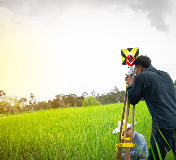
Topographic Surveys
Unlock the full potential of your land with our Topographic Survey services. We provide detailed, accurate maps of your property’s natural and man-made features, including elevations, slopes, drainage patterns, and existing structures. Whether you're planning to build, develop, or landscape, our surveys give you the crucial information needed to make informed decisions and avoid costly mistakes. By understanding the land’s unique characteristics, you can ensure your project is designed and executed efficiently, within local regulations, and with long-term success in mind. Our team of experienced professionals uses advanced tools to deliver precision and reliability. Start your next project on solid ground with a topographic survey—contact us today for expert insights and planning.
Contact Us Today
Ready to get started on your next project? At Elite Geomatics Land Survey, we make contacting us simple and straightforward. Whether you’re looking for more information about our services or ready to schedule a consultation, our friendly and professional team is here to help. We offer expert guidance, clear communication, and reliable solutions tailored to your unique land surveying needs. Reach out via our website’s contact form, or give us a call directly—whichever works best for you. We’re excited to collaborate and ensure your project is built on solid, accurate ground. Don’t hesitate to reach out today, and let’s start making your vision a reality!


“We were in the early stages of developing our property and needed a professional profile survey to assess the land’s topography. The team at Elite Geomatics Land Survey was incredibly thorough and efficient, providing us with a detailed survey that highlighted the land’s unique features and potential challenges. Their insights helped us plan the site development with confidence and ensured we avoided issues down the road”


“As a general contractor, precision in the layout of our construction projects is crucial. The construction stakeout services provided by Elite Geomatics Land Survey made all the difference in keeping our project on track. They accurately marked the foundation and utility lines, ensuring everything aligned perfectly with the design. Their team’s precision and professionalism helped us avoid costly mistakes and stay on schedule”


“Obtaining an Elevation Certificate was a must for our property to secure flood insurance. The team at Elite Geomatics Land Survey made the process so easy. They were prompt and professional and walked us through the entire process. The certificate was delivered quickly and accurately, giving us the documentation we needed for our insurance provider. Their expertise and attention to detail were invaluable. We highly recommend them for anyone needing an elevation certificate”