

Elevation Certificates
At Elite Geomatics Land Survey, we provide accurate and professional Elevation Certificates to help property owners, builders, and insurance agents manage flood risk and comply with FEMA regulations. Our certified surveyors deliver precise elevation data that can lower flood insurance premiums, support building permits, and streamline real estate transactions. Whether you're constructing in a flood zone, selling property, or seeking insurance savings, our Elevation Certificates give you the documentation and peace of mind you need. We offer fast turnaround times, competitive pricing, and personalized service to meet your specific project requirements. Protect your investment and stay compliant—trust Elite Geomatics Land Survey for all your Elevation Certificate and flood risk assessment needs.
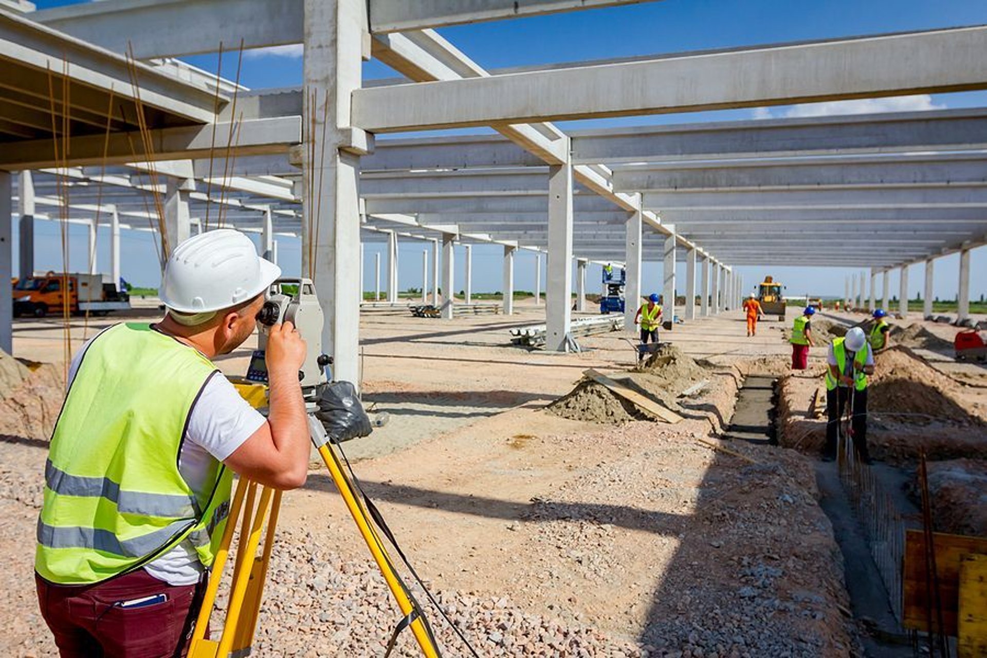
What is an Elevation Certificate?
An Elevation Certificate (EC) is a document issued by a licensed land surveyor that provides information about the elevation of your property in relation to the base flood elevation (BFE). This helps determine the potential flood risk your property faces and is often required by insurance companies to determine flood insurance premiums. The certificate contains key data, including the lowest floor elevation, the elevation of the building's foundation, and other key measurements that can impact flood risk. It is essential for homes and businesses located in or near flood-prone areas, as it can significantly influence flood insurance costs and help ensure compliance with FEMA (Federal Emergency Management Agency) regulations.
Flood Insurance Premiums
One of the most common reasons for obtaining an Elevation Certificate is for flood insurance. Insurance providers use the information on the certificate to determine whether a property is in a flood zone, how likely it is to flood, and the best rate for flood insurance. The certificate helps insurance providers assess the risk of flood damage to your property, which directly affects your premium rates.
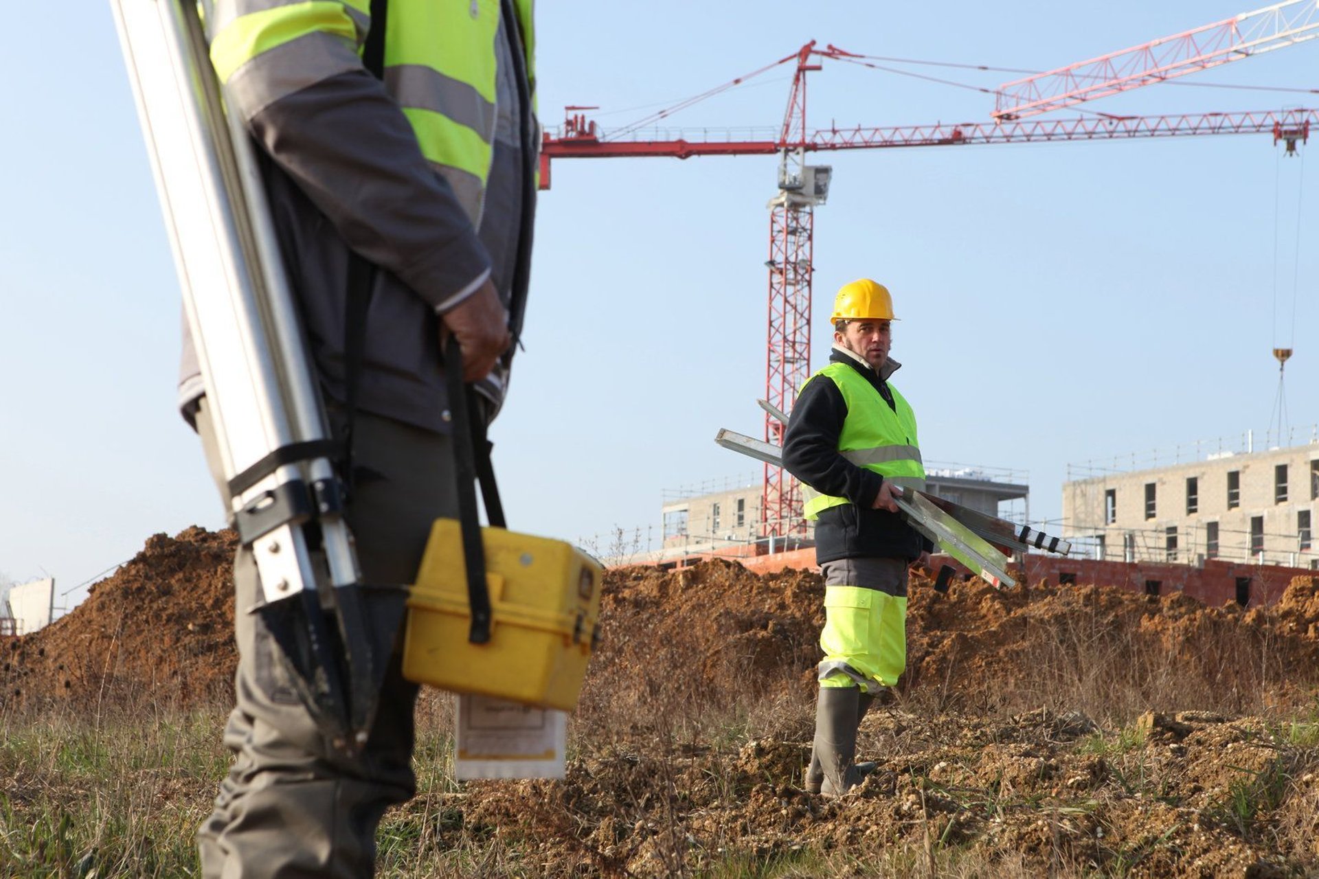
Building and Construction
For property owners and builders, an Elevation Certificate is often required before construction begins in flood-prone areas. This document helps ensure that structures are built to meet local zoning codes and FEMA floodplain regulations. The certificate verifies that the building's foundation and lowest floor are properly elevated above the required BFE, reducing the risk of flood damage during heavy rains or rising water levels. Without an Elevation Certificate, builders could face costly delays or complications when applying for permits or insurance.
Real Estate Transactions
When buying or selling property, an Elevation Certificate can be a deal-breaker. If you're a seller, having this document can help reassure buyers that your property is properly evaluated for flood risk, especially in areas prone to flooding. For buyers, obtaining an Elevation Certificate before purchasing can help avoid unforeseen expenses related to flood insurance or structural improvements. An Elevation Certificate also provides detailed insights into the property’s foundation, which could impact future renovation plans. For example, properties with lower foundations may require flood-proofing measures before construction or modification can be completed. Whether you're concerned about flood insurance premiums, complying with local building codes, or simply want peace of mind when it comes to your property’s flood risk, Elite Geomatics Land Survey is here to help. Contact us today to schedule your Elevation Certificate or learn more about how we can assist you in safeguarding your property and investment.
Contact Us Today
Ready to get started on your next project? At Elite Geomatics Land Survey, we make contacting us simple and straightforward. Whether you’re looking for more information about our services or ready to schedule a consultation, our friendly and professional team is here to help. We offer expert guidance, clear communication, and reliable solutions tailored to your unique land surveying needs. Reach out via our website’s contact form, or give us a call directly—whichever works best for you. We’re excited to collaborate and ensure your project is built on solid, accurate ground. Don’t hesitate to reach out today, and let’s start making your vision a reality!